How Long Does a Land Survey Take From Start to Finish?
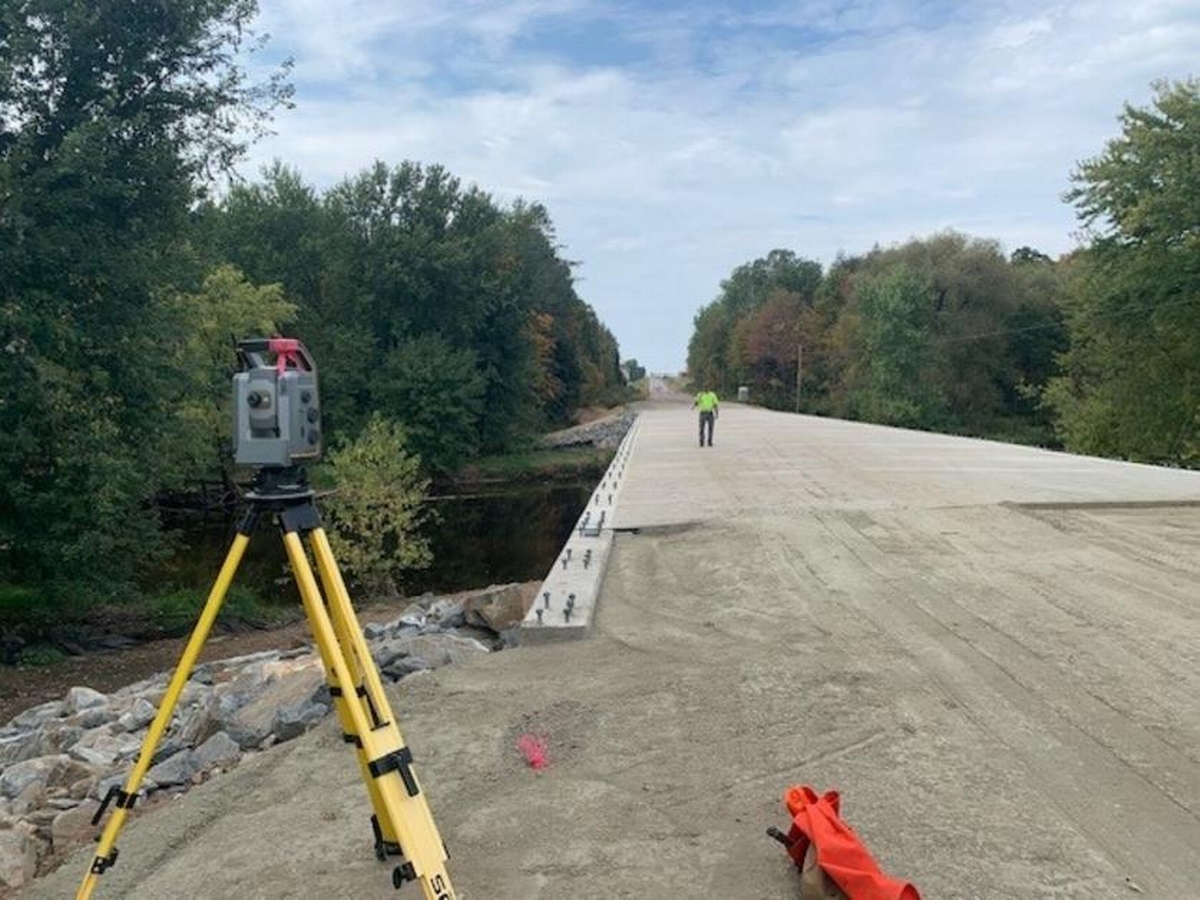
When planning a construction or remodeling project, understanding the timeline can often feel perplexing. How long does a land survey take? This is one of the common questions we encounter, especially when people inquire about land survey services in Stevens Point. A land survey is a crucial step in the planning process, providing the precise information necessary to ensure everything is built in the correct location and bounds. But, what does the entire process look like, and how much time should you expect it to take?
In this comprehensive guide, we will delve into the factors that influence survey timelines, the different types of surveys available, and the steps involved. Knowing how long a survey might take can help you plan efficiently, whether you're a homeowner, developer, or contractor.
The Importance of Land Surveys
Understanding the necessity of land surveys is crucial before diving into how long the process might take. A land survey is essential for determining property boundaries, which is vital for avoiding disputes and legal issues. Accurate surveys are also necessary for projects like new construction, renovations, and even basic landscaping. Surveys ensure you comply with zoning laws, which can prevent costly errors down the line.
Different types of surveys serve various purposes, including boundary surveys, topographical surveys, and construction staking. Each plays a role in ensuring the integrity and legality of a project. Yet amid all the technical details, the burning question remains: how long does a land survey take?
Factors Influencing Land Survey Timelines
The timeline for a land survey can vary considerably depending on a few key factors:
- Project Size and Complexity: Larger properties or those with challenging terrains may take longer. This complexity affects the time needed to gather accurate data and compile the results.
- Survey Type Required: Different surveys require different techniques and tools. A boundary survey might differ in timeframe compared to a topographical survey or construction staking.
- Access and Obstructions: Surveyors need unobstructed access to the property. Dense vegetation, water bodies, and manmade structures can prolong the process.
- Weather Conditions: Adverse weather like rain or snow can delay surveys as equipment and visibility are compromised.
- Regulatory Requirements: Compliance with local laws and obtaining necessary permits can add time. In Stevens Point, specific regulations might influence timelines for certain types of surveys.
Typical Survey Process and Timeline
Now, let's break down the general process of a land survey to better understand how long different stages might take.
- Initial Consultation: This first step involves discussing your needs with the surveying company. Here, you'll agree on the project scope and type of survey. While this can be brief, it sets the precedent for the entire process.
- Research and Preparation: Surveyors will delve into public records, deed documents, and previous surveys related to your property. This research might take a few days since it involves gathering all necessary data to inform the next steps.
- Fieldwork: This is the on-site component where surveyors venture to the property to measure and collect data. Typically, fieldwork can range from a day to a couple of days depending on the property's size and complexity. Advanced methods like drone services in Stevens Point can speed up this process significantly.
- Data Analysis and Mapping: Often the most time-consuming, this phase involves analyzing field data and creating detailed maps or reports. Depending on complexity, this can take a week or more.
- Delivery of Results: Finally, the survey results are compiled into a formal report shared with the client. This can be a straightforward process if the earlier stages were smooth.
Different Land Surveying Techniques
While the basic outline above gives an idea of the process, it's important to note the variation in techniques used, which affects timelines. For example, construction staking - a critical service in Stevens Point - requires precise marking of building locations, requiring meticulous planning and execution. Meanwhile, using drones for surveys can cut down time significantly, offering a bird's-eye view with incredible accuracy.
So, when asking how long does a land survey take from start to finish? The answer lies in considering these nuances. Expect approximately one to three weeks, but always consult with your surveying firm for the most accurate estimate tailored to your specific needs.
Common Challenges in Land Surveying
Several challenges can surface during a land survey. Understanding these potential obstacles allows for proactive solutions and mitigates surprise delays:
- Boundary Disputes: Conflicting property boundary information can arise from outdated records and clogged county records.
- Environmental Restrictions: Properties located near protected areas might have additional regulatory steps to comply with environmental standards.
- Technological Malfunctions: Relying heavily on technology - like GPS and drones - means that technical faults can briefly stall the process.
Drawing on experience, Riverside Land Surveying ensures thorough troubleshooting to handle these challenges effectively.
Future Trends Impacting Land Survey Timelines
The land surveying field is evolving, and the future promises a blend of technology and efficiency. Incorporating AI and more advanced tools such as 3D scanning can reduce human error and improve efficiency. These advancements suggest the potential of shorter timelines and more accurate outcomes.
Additionally, with services like improved boundary surveys, land planning, and other modern techniques, timely and accurate information becomes more accessible. More accurate data leads to fewer on-the-ground complications and faster project completion.
Why Choose Riverside Land Surveying?
Taking the step to commission a land survey is critical in many construction and remodeling projects. While there are numerous choices, we stand out due to our comprehensive services. We serve clients with unparalleled professionalism, ensuring that our services, whether it's construction staking or drone services in Stevens Point, are conducted efficiently and accurately.
For those wanting precision and reliability in their land surveys, turning to a professional service provider like Riverside Land Surveying offers the assurance that your project will start on the right foot. Our expertise translates to timely, insightful, and resourceful surveys, aligning perfectly with clients' varied needs.
Navigating the details of a land survey can seem daunting, but with expert guidance from a seasoned service provider, you are not alone in achieving your project goals. Discover how we can assist you in your upcoming projects. Contact us today for a consultation or to learn more about the services we provide in the Stevens Point area.