A Simple Guide to Land Surveying for Property Owners
Starting any journey with accurate directions is crucial. Whether you're hiking through thick woods or walking through the maze of property ownership, the wrong path could lead to unforeseen troubles. In the realm of property ownership, understanding what is land surveying becomes an essential navigation tool for ensuring you make informed decisions about your real estate investments. If you're considering land surveying in Stevens Point and its surrounding areas, engaging with these services can not only clarify land boundaries but also offer reassurance during property transactions.
If you've ever marveled at the precision of a construction project or wondered how property disputes are resolved with minimal ambiguity, land surveying is often at the heart of those solutions. This practice not only delineates property lines but also plays a critical role in urban planning, environmental conservation, and construction safety. As you read on, you'll discover the fundamental principles of land surveying, its applications, and how partnering with Riverside Land Surveying in Stevens Point can ease your property concerns.
Understanding the Basics of Land Surveying
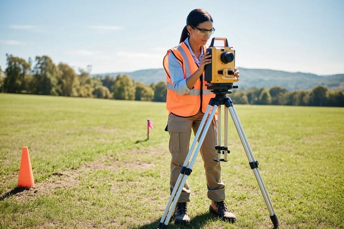
Land surveying is a science and art that involves measuring and mapping land areas. It is integral to determining property boundaries and ensuring responsible development and construction. When someone asks, "What is land surveying?" they are touching on a process that encapsulates meticulous fieldwork and mathematical calculations, crucial for accumulating accurate data about the physical features of a land parcel. Surveyors utilize tools ranging from traditional equipment like rods and levels to advanced technology such as GPS and drones.
One of the primary roles of a land surveyor is to provide a comprehensive view of a plot of land, detailing its topographical elements and any existing structures. This information is crucial for legal transactions, construction projects, and dispute resolutions. Whether you want to build a new home or buy a plot, land surveying serves as the foundation of your project's success.
Importance and Role of Land Surveying
Legal Assurance
Land surveying provides a legal assurance by clearly defining property boundaries to avoid disputes. By precisely mapping these boundaries, property owners and real estate developers can prevent costly legal battles associated with encroachments. Legal assurance is indispensable when property ownership is transferred, ensuring both parties have a clear understanding of the property lines.
Facilitating Construction
Surveying is pivotal in the construction industry. Before any groundbreaking, a surveyor conducts an analysis to understand the land's slope, elevation, and stability, informing the architects and engineers about potential challenges. This pre-construction evaluation helps in planning the layout of buildings, roads, and other structures, ensuring that they comply with safety and regulatory standards. For instance, construction staking is a service provided to help identify precise locations for structures according to design plans.
Environmental Planning
Besides construction and legal boundaries, land surveying plays a role in environmental protection by identifying topographical features like slopes, water bodies, and vegetation types. These findings contribute to land planning that is sustainable and ecologically mindful. Agencies use survey data to make informed decisions about land use, conservation efforts, and rehabilitation of natural habitats.
Different Types of Surveys
While the term "land survey" might seem monolithic, it actually encompasses various methods and applications. Here's a succinct overview to break down these types:
- Boundary Surveys: Determines the exact property lines and corners of a parcel, crucial for legal and construction purposes.
- Topographic Surveys: Depicts the natural and man-made features of the land, providing a visual guide for elevation changes.
- Construction Surveys: Ensures that buildings, roads, and utilities are laid out according to precise plans.
- Control Surveys: Establishes a network of reference points for mapping and utilizing GPS technology.
- Subdivision Surveys: Divides larger tracts of land into smaller parcels, often for development purposes.
Each type serves a unique purpose, but collectively, they provide a comprehensive understanding of how land can be utilized, developed, and managed. This variety ensures that no matter your need, a precise survey can address your specific questions or concerns.
Advanced Surveying Techniques and Technology
Today's land surveying has evolved significantly with the advent of technology. Modern tools such as GPS, drones, and computer-aided design (CAD) software have revolutionized how surveys are conducted, increasing accuracy and efficiency. For example, drone services in Stevens Point and beyond are becoming increasingly popular, offering aerial views that are impossible to achieve from the ground alone, assisting in boundary identification, and creating visual records with extreme precision.
These technological advancements not only speed up the surveying process but also open up new possibilities for land analysis. Surveyors can now access previously inaccessible areas and gather data that is more detailed than ever before. This evolution underscores the importance of staying informed and partnering with surveying firms that are at the forefront of such innovations.
Choosing a Land Surveying Service
Selecting the right land surveying service is critical to the success of your project. With numerous factors to consider, opting for a trusted provider like Riverside Land Surveying can ensure precision, reliability, and peace of mind. Key considerations should include the company's local expertise, experience, technological capabilities, and a proven track record of accurate surveys.
If you’re facing a survey requirement related to boundary disputes, construction planning, or buying and selling property, it is advisable to consult with a professional who understands your needs. Moreover, a knowledgeable surveyor will not only conduct fieldwork but also walk you through laws and regulations pertinent to your location.
Turn Exploration into Realization with Riverside Land Surveying
With potential investments and projects on the horizon, understanding what land surveying is can pave the way for informed decision-making. This guide has outlined how surveying supports legal assurance, construction, environmental conservation, and much more. As you contemplate the future, let Riverside Land Surveying be your trusted partner in unlocking the full potential of your land. Whether you're interested in construction staking or another surveying service, our seasoned team is committed to guiding you through the process with expertise and precision. Contact us today to begin your journey towards clear boundaries and confident property ownership.