How Does Land Surveying Work for Property Owners?
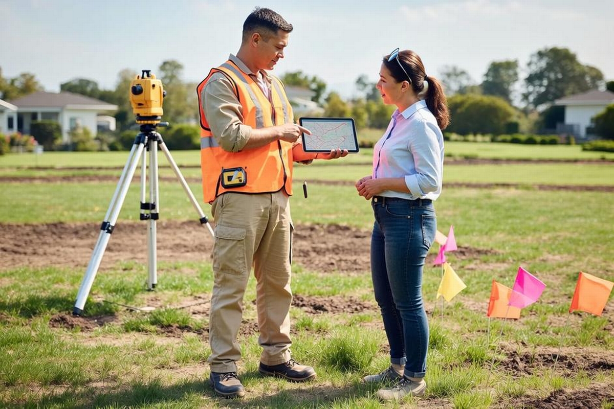
Have you ever thought about how essential land surveying is before purchasing a property? Whether you're a first-time property buyer or a seasoned real estate investor, understanding land surveying can be crucial. In regions like Stevens Point, which have diverse landscapes and complex zoning laws, land surveying in Stevens Point is a vital process that ensures your investment has clear and undisputed boundaries. This often-overlooked step plays a significant role in avoiding potential legal complications and maximizing the value of your property.
At its core, land surveying is a scientific method involving the precise measurement and mapping of land. The process differs depending on the location and the specifics of the property but generally offers a universally applicable framework. This blog post delves into how does land surveying work for property owners, addressing its importance, benefits, challenges, and the various types that could impact your real estate endeavors. By the end of this article, you'll grasp why land surveying should never be skipped and how it directly benefits property owners like you.
Understanding the Basics of Land Surveying
Before diving deeper into how land surveying work, it's essential to grasp the basic principles involved. With a foundation in both mathematics and technology, modern-day land surveying is more than just measuring lines on a map. Utilizing cutting-edge tools like GPS, laser scanners, and drones, surveyors produce data that's both accurate and reliable.
Steve Jobs once said, "The details are not the details. They make the product." This sentiment rings particularly true in land surveying. Accurate data collection ensures that the property's legal description matches the physical property on the ground. Additionally, it provides valuable information about topography and vegetative cover, which can inform how the land can be used or developed. In places like Stevens Point, where the topography can be diverse, the role of surveying becomes even more nuanced.
The Importance of Land Surveying for Property Owners
One might wonder how does land surveying work and why is it so essential for property owners. Let's consider a common concern: boundary disputes. In most scenarios, these are settled more efficiently with a recent and precise land survey. Clear boundary lines not only mitigate conflicts with neighbors but can also prevent costly legal issues. A boundary dispute might arise when someone inadvertently builds a structure on the neighbor's property - a situation that's easily avoidable with an accurate survey in hand.
Furthermore, land surveys are integral for new constructions. When developers undertake construction projects, they're heavily reliant on accurate surveys for construction staking in Stevens Point. This precise mapping ensures that structures are erected according to plan and zoning requirements, ultimately saving time and resources. The next time you see a new building go up in your area, think about the pivotal role surveying played in that project's success.
Types of Land Surveys
Land surveying can be a broad profession, with various types dedicated to different purposes. Each type has its unique scope and utility, ensuring property owners can address specific needs:
- Boundary Surveys : As the name suggests, these surveys establish the true property lines, resolving boundary disputes or confirming lawful ownership.
- Topographic Surveys : Useful for architects and engineers, these surveys map the contours and elevations of the land, helping determine how it can be developed or built upon.
- ALTA/NSPS Surveys : These surveys adhere to national standards and are often required by lending institutions before securing financing for commercial properties.
- Construction Staking : Essential for new developments, this type ensures that the land's design plan is accurately translated onto the ground during construction.
- Environmental and Floodplain Surveys : These surveys evaluate how environmental factors might affect the land, crucial for areas susceptible to flooding or requiring environmental review.
Understanding these categories affirms that land surveying is not merely a preliminary step but a necessary one to ensure compliance, safety, and peace of mind.
When to Engage a Land Surveyor
Timing is everything, especially when it comes to real estate transactions and land development. Knowing when to call upon a professional land surveyor can save you from potential hassles down the line. If you're in the midst of purchasing a property, refinancing, or planning any significant development project, a survey should be one of your primary considerations.
But how does land surveying work in practice, and how do you know if you require a survey? If you notice encroachments (like a fence or walkway) that might be crossing your expected property lines, a boundary survey will address these concerns. If you're about to embark on vetting a piece of land for a new construction project, construction staking is your path forward. Alternatively, for those living in flood-prone regions, specific surveys can offer peace of mind by identifying potential issues related to water levels. No matter the need, a qualified surveyor can provide expert advice tailored to your unique property situation.
Advancements in Land Surveying Technology
Technological advancements have revolutionized how land surveying work, making the process more efficient and accurate. Modern surveyors employ a multitude of technologies to gather, process, and present data. Among the most impressive innovations is the introduction of drone technology. Drone services in Stevens Point provide aerial surveys of vast or difficult-to-navigate areas quickly and safely, capturing data that traditional methods might find challenging.
Moreover, the integration of Geographic Information Systems (GIS) and 3D laser scanning has allowed for more detailed mapping than ever before. These technologies can create high-resolution models of a property, assisting in everything from urban planning to environmental assessments. With these advancements, property owners and developers not only save time and resources but also gain access to enhanced information that would have been unimaginable just a few decades ago.
Leveraging Land Surveys for Land Development and Planning
Understanding how does land surveying work goes beyond property ownership - it extends into how real estate projects are planned and executed. Accurate land surveys serve as the backbone of development projects, ensuring the correct placement of roads, utilities, and structures. For any developer or homeowner planning a renovation or a significant build, the valuable insights from these surveys guide everything from initial design to securing permits.
A well-conducted survey confirms the land's condition, identifying topographical challenges or constraints. Armed with this knowledge, developers can plan more efficiently, often securing both time and cost savings. For projects large and small, from a single-family home to an extensive living complex, the importance of survey data cannot be overstated.
Partnering with Professional Surveyors for Success
Choosing the right land surveyor plays a crucial role in the success of your property endeavors. When selecting a service like Riverside Land Surveying, you're not merely hiring a technician to measure land. You're partnering with experts who understand local zoning laws, state regulations, and industry best practices. Their expertise ensures that your survey results meet all legal requirements for any transaction or development.
Throughout Stevens Point and beyond, Riverside Land Surveying provides a broad spectrum of services, from boundary surveys to more complex floodplain surveys. Utilizing state-of-the-art equipment and methodologies, they deliver precise and reliable data tailored to your needs. Their ability to adapt to different projects makes them invaluable to property owners seeking clarity and peace of mind.
For property owners curious about land development and its intricacies, engaging experts in land planning in Wisconsin Rapids is a rewarding decision. These collaborations extend beyond simple transactions, offering valuable insights into sustainable land use and long-term planning. With their local expertise, Riverside Land Surveying is more than equipped to turn your visions into reality.
Taking the Next Steps
Understanding how does land surveying work empowers property owners with the knowledge to make informed decisions. From preventing boundary disputes to facilitating groundbreaking development projects, the value of professional surveying cannot be understated. As you navigate the complexities of property ownership, consider leveraging the expertise of Riverside Land Surveying in Stevens Point to ensure your investments are sound and prosperous. Ready to elevate your property experience? Connect with Riverside Land Surveying today and embark on your next project with confidence.