![]()
Services
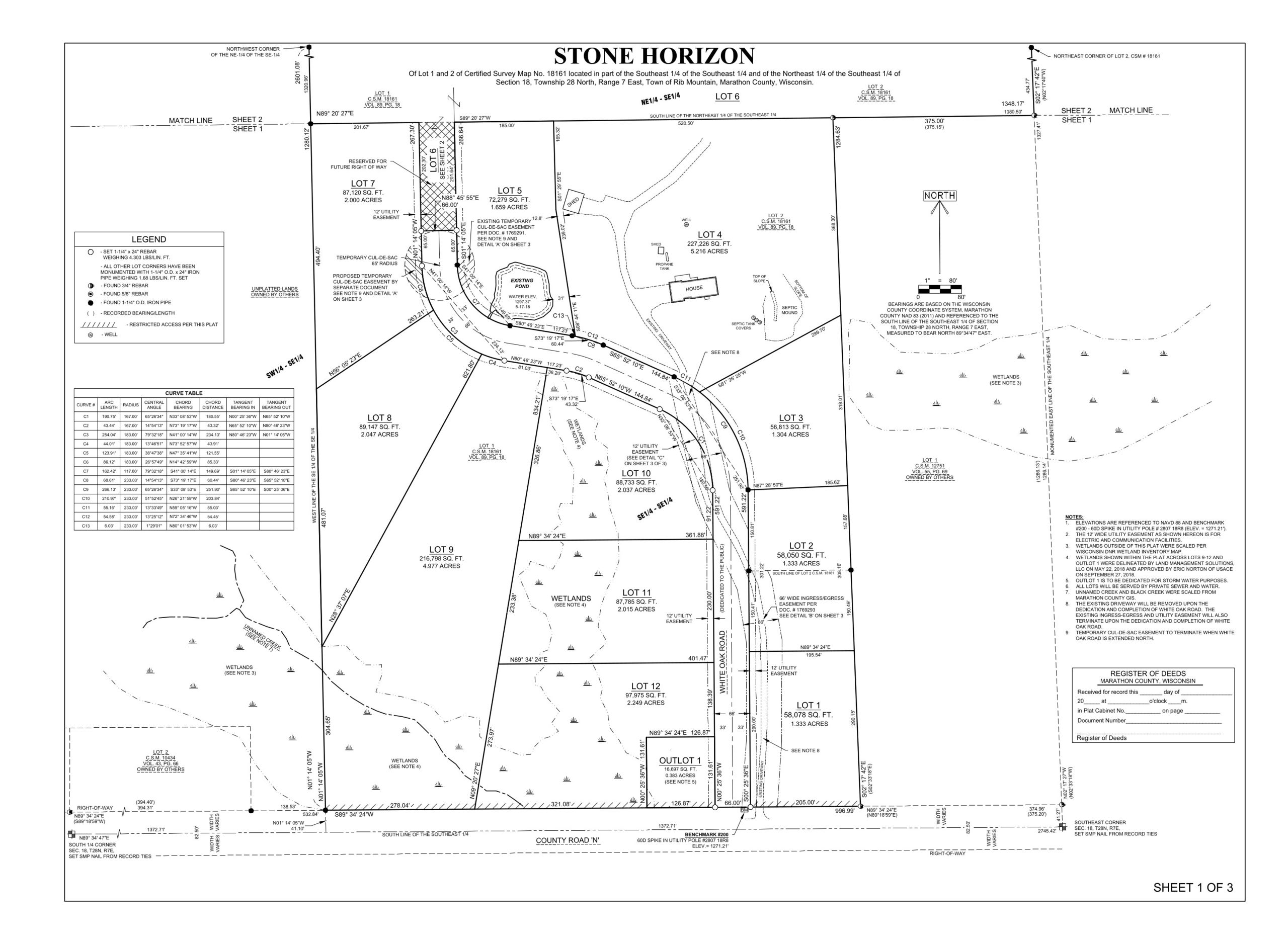
Land Planning
Land planning is the division of a large tract of land into smaller tracts or units. Local and state governing bodies may have ordinances and restrictions that apply to your potential division, that may seem insurmountable in the planning stage of your project. Riverside Land Surveying LLC will help simplify the complexities often seen in land development. We will assist you in deciding the best way to utilize your property to its fullest potential. Our Professional Land Surveyors have over 45 years of combined experience and training, and can foresee potential problems on your project before they may occur, saving you time and money. Our surveying team can create several variations of lot or unit layouts to best meet your needs and that of your buyers. Riverside Land Surveying LLC has partnered with several civil engineering firms throughout Wisconsin to provide a competitive and complete land-planning package for our clients.
We also provide survey maps, exhibit maps, and easement descriptions to assist Real Estate Attorneys in their client’s estate planning process.
No matter what type of land development you’re undertaking, our team takes pride in making your visions a reality.
- State Subdivision Plats
- County Subdivision Plats
- Condominium Plats
- Cemetery Plats
- Certified Survey Maps
- Easement Descriptions
- Topographic Surveys
- Estate Planning
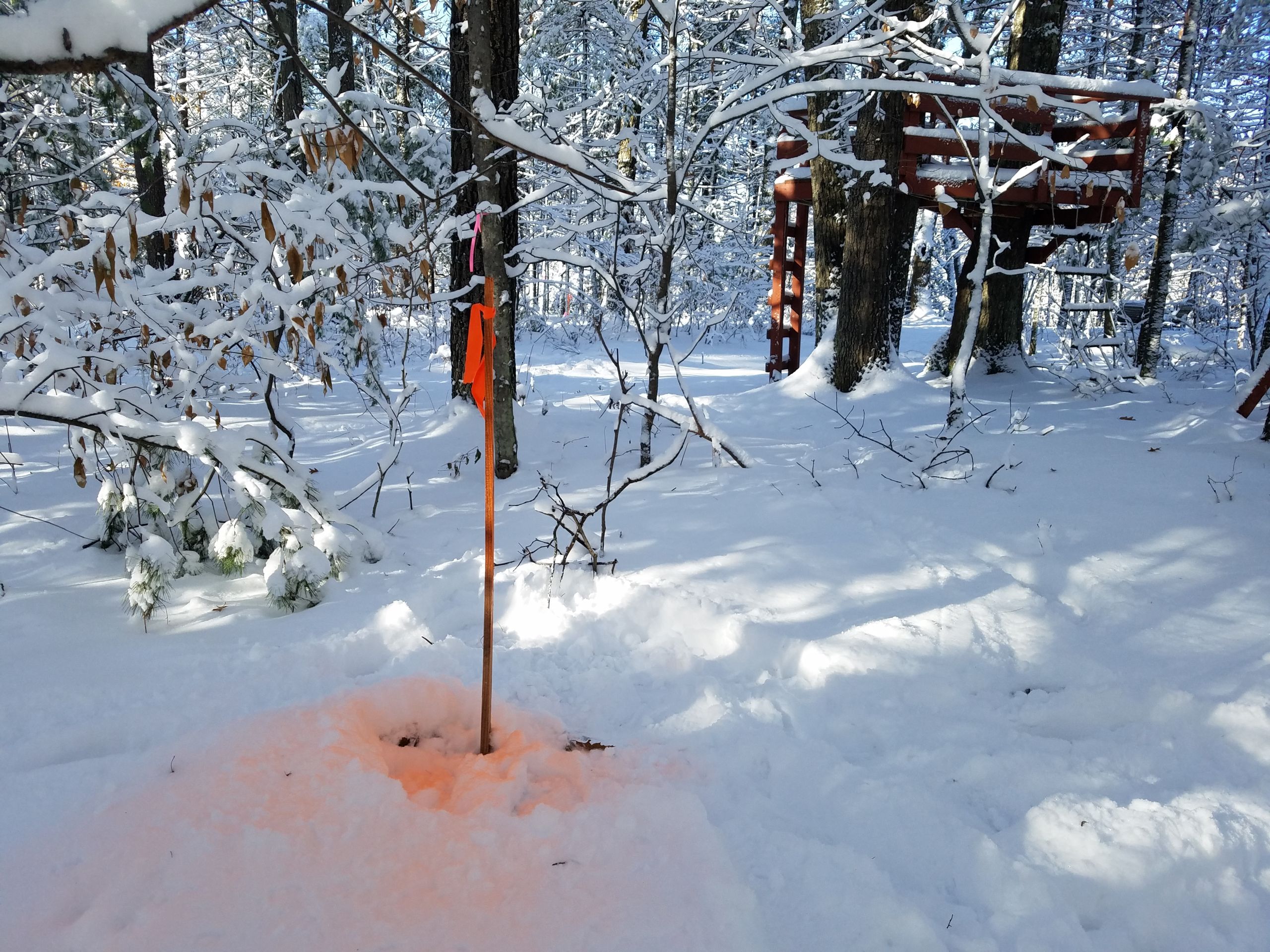
Boundary Surveys
Boundary surveys show the property lines of the parcel being surveyed along with any improvements or encroachments on your property. Boundary surveys may be required when purchasing or selling a parcel of land. Riverside Land Surveying LLC utilizes top-of-the-line surveying equipment and proven surveying techniques to provide accurate and precise boundary surveys for all types of property from a simple square lot to an ALTA/NSPS Land Title Survey.
Boundary disputes often occur when two parties cannot agree on a property line. We understand that emotions often run high in boundary disputes but we have the expertise and professionalism to help resolve these types of issues even under the most difficult of circumstances.
- Plat of Survey
- ALTA/NSPS Land Title Survey
- Certified Survey Map
- Section Corner Remonumentation
- Boundary Line by Agreement
- Boundary Line Resolution
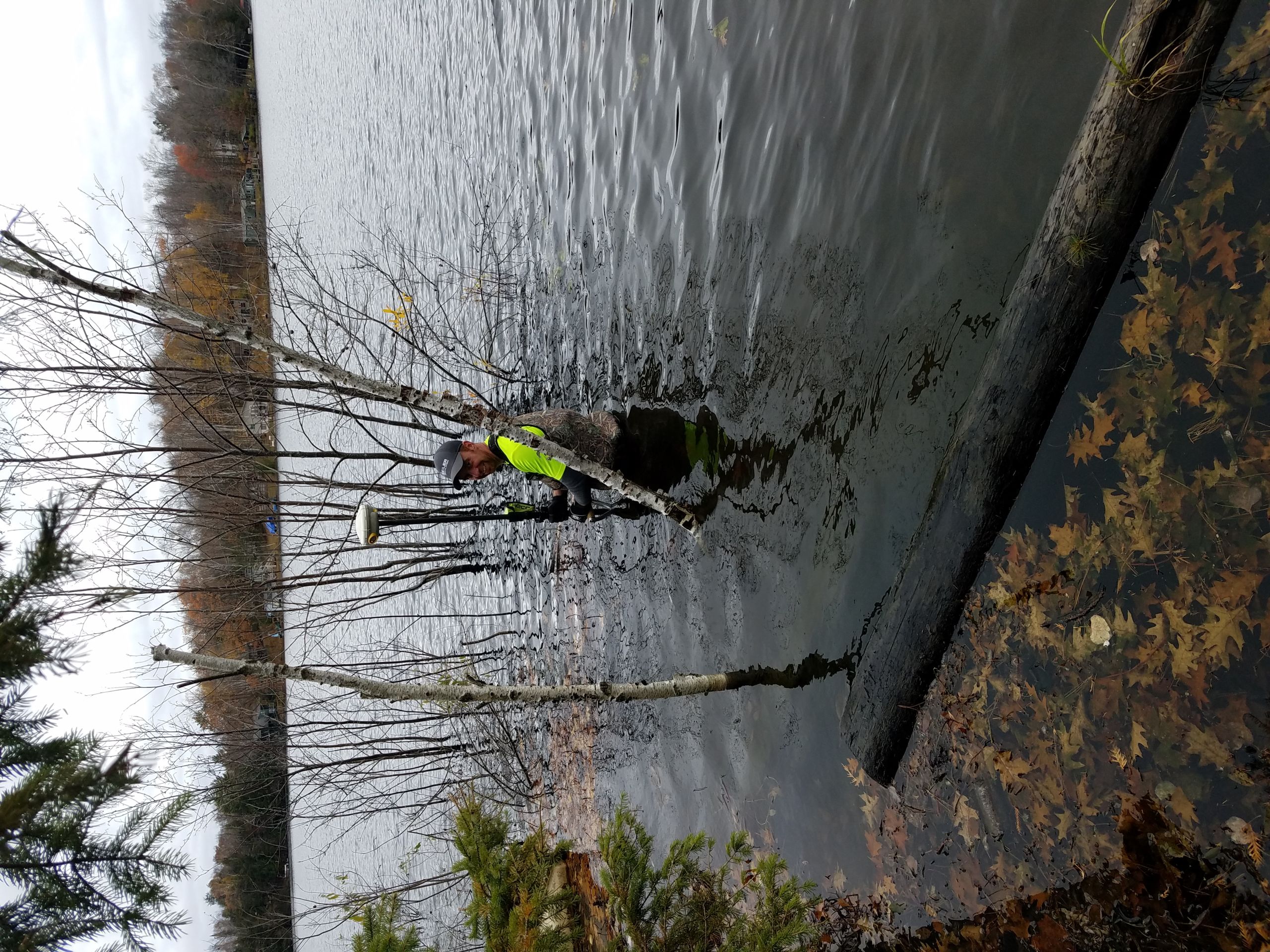
Flood Plain Surveys
With the recent FIRM (flood insurance rate map) update, many parcels that have not previously been shown in a flood area are now identified as within flood areas. Our professional team will assist in providing elevation certificates and LOMAs (Letter of Map Amendment) often needed when your property may be in or near the flood plain.
- Elevation Certificate Surveys
- LOMA
- LOMR
- CLOMA
- CLOMR
- Shoreland Grading Permits
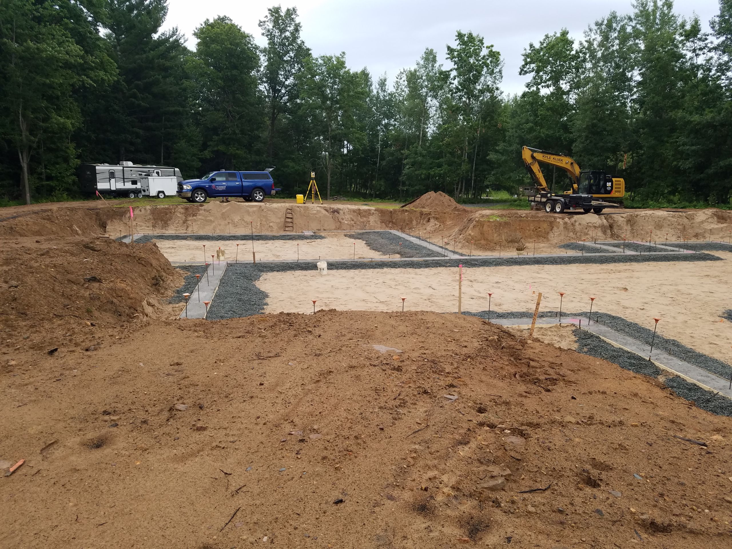
Construction Staking
Construction staking is the layout of points and offsets that provide position and grade for use in construction of infrastructure, commercial and residential developments. Riverside Land Surveying LLC knows the importance of accuracy and timing within the construction process. We utilize Global Positioning Systems (GPS) as well as Robotic Total Stations, for efficient and accurate locations and offsets. Our highly technical staff has created digital terrain models for contractors with GPS grade control on many projects to streamline their grading process and our survey crews have provided construction staking services on a wide variety of projects for the Wisconsin Department of Transportation, municipalities, and private developments. We strive to exceed our clients’ expectations on construction projects throughout Central and Northern Wisconsin.
- Roads
- Bridges
- Residential and Commercial Buildings
- Utilities
- Parking Lots
- Landfills
- Storm Water Management Facilities
- Digital Terrain Models (DTM)